nautically charted 🗺️
i learned to tolerate the sea while living in vancouver, british columbia. it taught me there are two distinct sorts of sea people. sea folk, who live off the ocean's resources either for work or subsistence and the rich who simply can afford to enjoy the ocean as a view or playground.
i no longer live directly on a the coastline, but in the mountains high above the gulf of mexico. something similar plays out here. there are folk who depend on the resources found in the gulf and others who have the means to enjoy it as a view from their large gaudy beach houses, penthouse condos, or fancy hotel suites. the price attached to these views is both impressive and depressing.
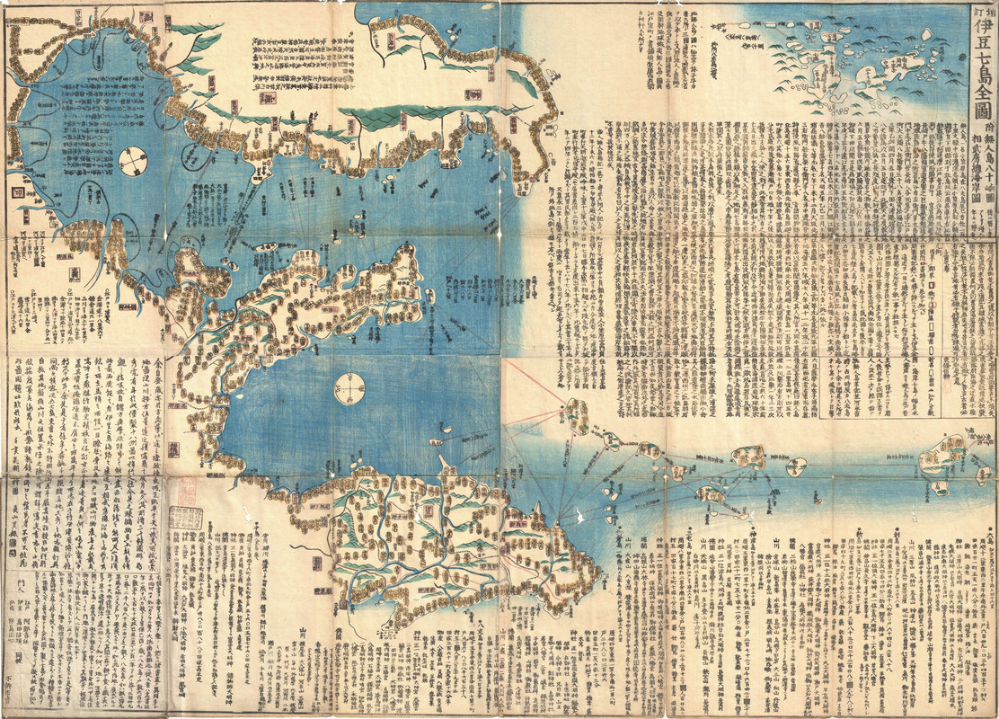
nautical charts are innately tied to colonial trade and colonial trade routes. moreover, they serve as a historical map of violent imperialism. one might think of william hacke whose charts mapped out safe passage for british buccaneers (legal) pirates to rape and plunder their way through the americas.1
my body is innately tied to colonial trade routes. part colonial body part colonised body, there is a war playing out somewhere in there. either way, my wish is that those who depend on the sea for their livelihood have the chance to rise up and that those who pay to enjoy and gatekeep the pleasures of the sea just sink into it. there is no such thing as a decolonised nautical chart, but if there was we should hope it would provide us safe passage through the end of times above the sunken homes and palaces of the once rich and famous.
although i no longer live near the coast, i still dream of it a lot. when i dream of it, i dream of nautical revolution. i dream of nautical charts that chart out our passage to freedom.